3 января 2026, 14:27
64
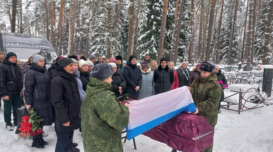
В Ржанице простились с героем-земляком
Денис Иваненко погиб при выполнении боевой задачи в ходе СВО.
Денис Иваненко погиб при выполнении боевой задачи в ходе СВО.
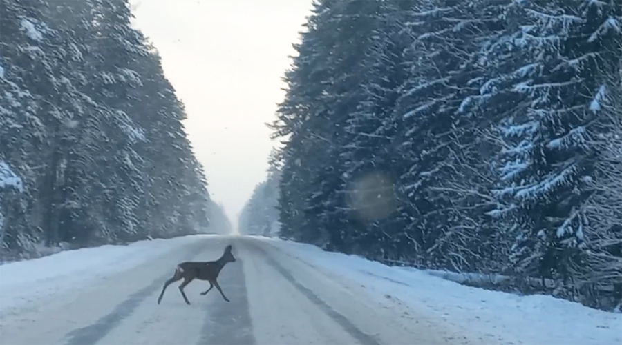
Это не мешает лесным обитателям перебегать через дорогу в удобных для них местах.
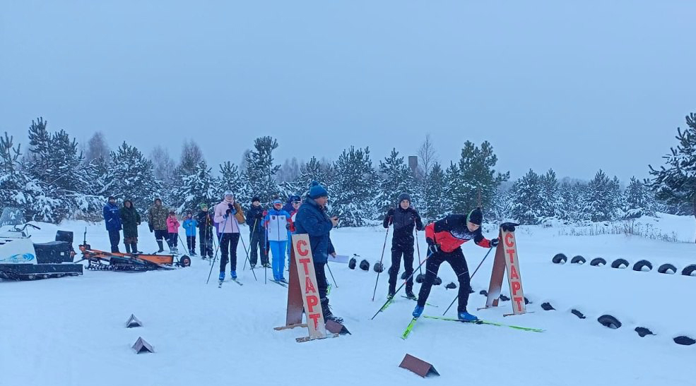
Местом проведения стала лыжная трасса близь Тросны.
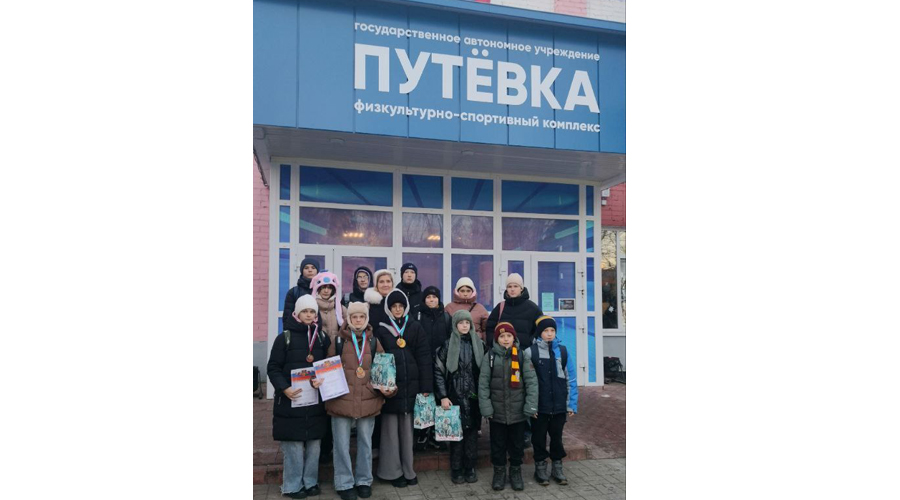
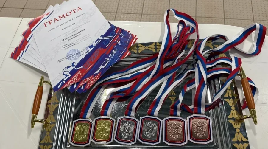
В ГАУ ФСК "Путёвка " прошло Первенство Брянской области по плаванию, посвященное Дню памяти воинов, погибших в боевых действиях.
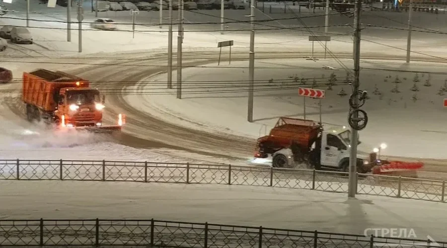
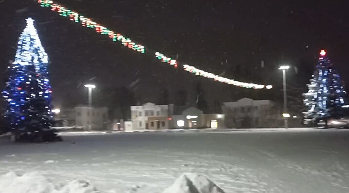
В Жуковке, как и по всей области, с небольшими перерывами продолжается новогодний снегопад.
Одним из главных украшений стал пушистый новогодний снег.
Природа решила порадовать людей в преддверии нового года. Это добавило работы дорожным службам.
В нарядном зале кафе «Десна» матерям – сотрудницам Жуковского РАЙПО, чьи сыновья сражаются в зоне СВО, вручили праздничные подарки и сердечно, с наилучшими пожеланиями, поздравили с наступающим Новым годом.
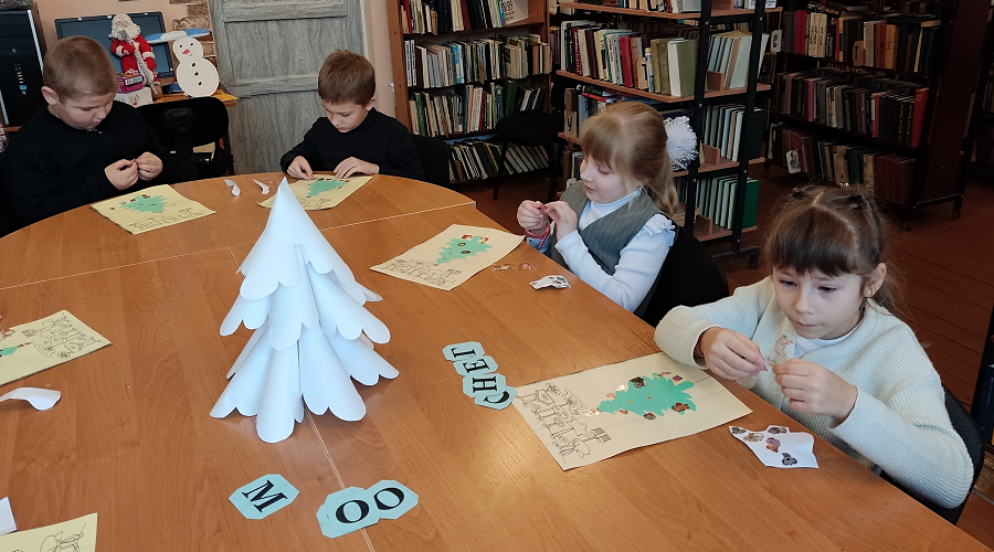
Для учеников младших классов в Троснянской поселенческой библиотеке провели увлекательную игру - викторину «В Новый год за сказками»
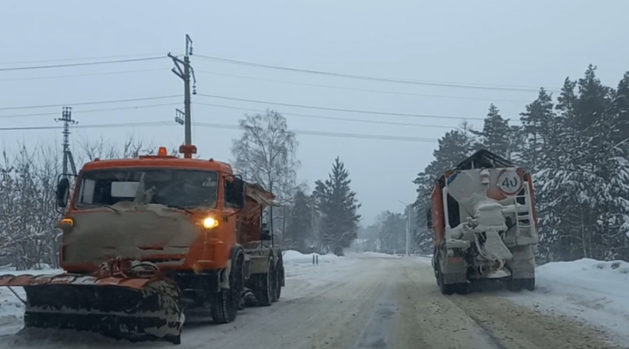
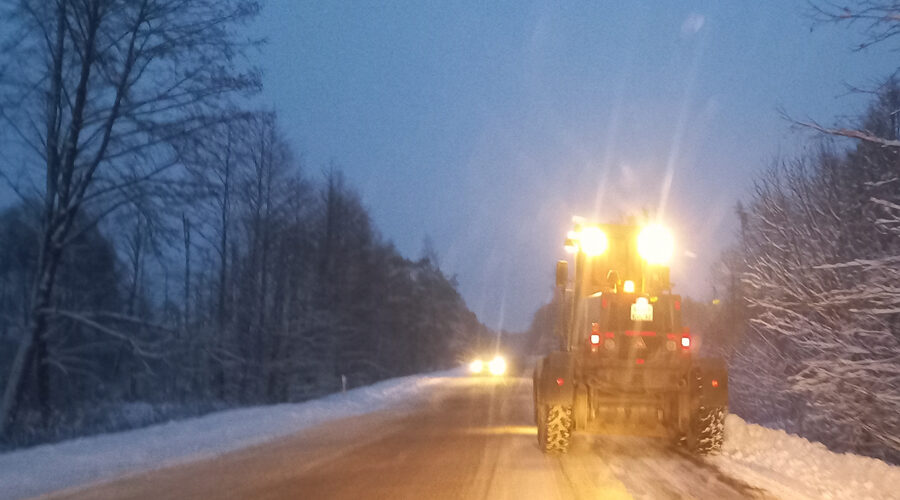
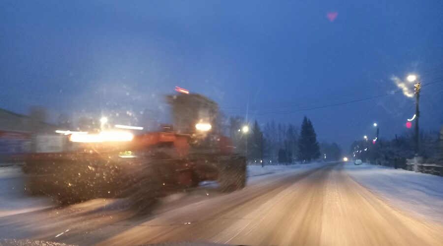
В Жуковском муниципальном округе механизированные подразделения дорожной службы ведут комплексную работу по устранению последствий снегопада
В Жуковском комплексно - досуговом Центре прошла детская музыкально – театрализованная постановка по мотивам сказки «Королевство кривых зеркал».